 Image 1 of 1
Pilchuck Audubon chapter members can receive 10% off all items in our store. Ask about our member discount code by contacting director@pilchuckaudubon.org.
This loop takes you along the inland coastal waters of the Pacific Ocean where tides and currents sculpt dramatic shorelines in a temperate climate. Turning east, the trail winds through dark, stately conifer forests before rising over the high open passes of the snow-capped Cascade Range, sprinkled with clear lakes and fast-flowing streams. East of the mountains, where winters are colder and summers are warmer, you'll find sagebrush-grassland plateaus, ancient canyons, and the legendary "River of the West," the mighty Columbia.
Hundreds of thousands of shorebirds, neotropical migrants, and other birds of the Pacific Flyway depend on Washington's wealth of natural habitats: some stop here to rest and eat before continuing north, while others stay to nest and raise the next generation. Northwest Washington is famous in winter for its large populations of seabirds, Bald Eagles, Snow Geese, and Trumpeter and Tundra Swans, and offers some of the country's best raptor viewing.
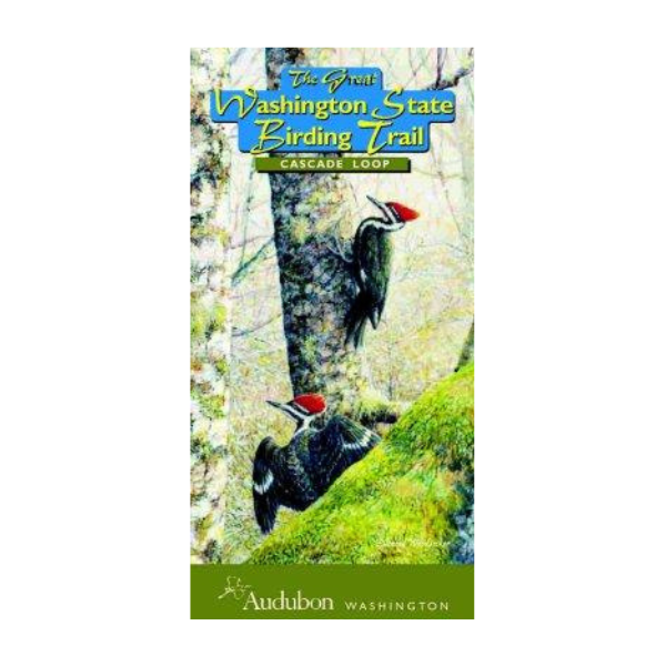
The map features original art by Ed Newbold on the cover and along the route of the map. Thank you to the many dedicated Birding Trail volunteers, and to the program funders: U.S. Fish and Wildlife Service, Washington Dept. of Fish and Wildlife, Washington’s office of Business and Tourism Development, Icicle Fund, Puget Sound Energy, and many individuals.
Shipping: $3 for the first map, plus $1 for each additional map